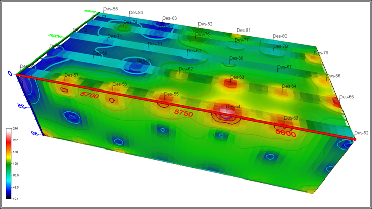
1.Electrical Resistivity Management
The resistivity method is an artificially sourced local ectric method and is based on the application of “Ohm’s Law” in the field. In other words, the potential difference is measured by sending a known magnitude current into the ground from the electrodes placed on the earth at suitable intervals. Based on this, the resistivity of the ground is calculated. The areas where this method is applied can be summarized as follows.
- • Determination of thickness and depth of geological structures
- • Detection of lateral changes and determination of anomalies due to geological conditions
- • Obtaining groundwater and brine intrusion maps
- • Identifying buried waste sites and finding buried pipes
3.Structure Radar
With the building radar, concrete and iron interior reinforcements of all structural elements such as interiors, walls, columns, and carrier systems in current or historical buildings are mapped.
- • Fracture, zones of weakness and degradation, corrosion detection
- • Concrete quality, settlement, swelling detection
- • Detection of metal reinforcements in historical buildings
- • Creation of maps that will form the basis of strengthening works
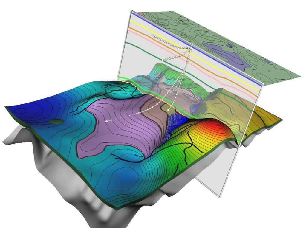
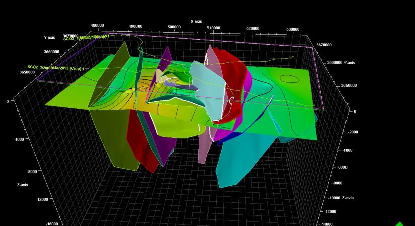
4.Graviteve Magnetic Methods
The information obtained by using the density difference properties between the geological units is listed below.
- • groundwater reservoirs
- •Detection of magmatic inclusions and underground heat sources
- • Exploration of geothermal resources
- • mineral exploration
- • Identifying fault locations
- • archaeological research
5. Magnetotelluric Method
Magnetotelluric method; These are the studies carried out by measuring the natural electric and magnetic fields of the earth depending on time.
- • prospecting
- • geothermal exploration
- • oil exploration
2.Ground Radar (GPR)
Ground Penetrating Radar or GPR (Ground Penetrating Radar) is a geophysical-based measurement device used in the investigation of shallow layers of the underground. The method is based on the principle of observing the reflection of very high frequency radio waves sent into the ground from the interfaces by means of a transmitting antenna with an electric field vector in the horizontal direction. If there is an interface underground consisting of rocks with both different electromagnetic properties, the electromagnetic wave is reflected from this interface, so that different layers underground are detected.
Başlıca kullanım alanları;
- • Revealing the soil stratigraphy and determining the geological units
- • Damar tipi maden yataklarının belirlenmesi, cevher ilerleme yönünün tespit edilmesi
- • Groundwater detection
- • Detection of buried structures and voids